Wild Weather Continues
Hello–
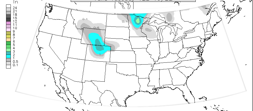
Many of you probably have Spring fever right now–and rightfully so, as it is Spring–on the calendar at least. We have been above normal this week by a slight bit, with the exception of yesterday when we were quite a bit above normal. We are about to get some active weather leading us into the weekend, and we may even conclude the weekend with some snow. Don’t put away the shovel yet, as that may not be our only chance. Last year we were shoveling in May, so I guess it isn’t anything new.
March 2014: The Blog is Back!
Hello Friends and Followers!
I took a long absence from the blog (last post was October 2013), as I have had a very full plate, and the tail end of the schooling has consumed me. I thought today would be a good day to bring it back to highlight the weather for the week ahead. As many of you have also noticed, I had been working on getting my new graphics rolled out–snowfall charts, 7-day forecasts, etc. Unfortunately the blog became a victim of the balance of time.
Meteorological Spring started on March 1st, but traditionally we have to wait until the third week of March, when the suns rays are directly over the equator.
Two storm chances next week–changes likely in forecast!!
Hello-
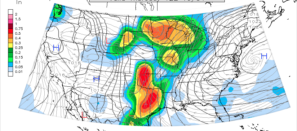
The models have been hinting at two large storms next week–or, what we are really seeing is the likelihood of one large storm in multiple waves, split up like two separate storms. These are generally impulses that spin up off of the main low pressure center—so we usually see multiple waves. This is fairly common of large storms of this nature.
The ECMWF runs yesterday were pulling the brunt of the storm over MN near Halloween, with a preliminary part of the storm on Tuesday. Now, the normally reliable ECMWF seems to pull it further away on Halloween and after.
Outlook for MN: First Snow Chances
Hello-
You have probably been hearing of snow chances on your local news forecasts… and yes, it is looking more and more likely.
Change happens quickly in Minnesota this time of year. We can go from late season severe weather to early season snowfall like the flip of a light switch. For those of you that didn’t know, South Dakota and Wyoming have already been blasted by some early season snowfall–measured in FEET. Some places got upwards of 4 or 5 feet, with drifts that buried homes, and killed over 100,000 animals/cattle. We won’t see anything like that, but the first couple of snowfalls always seem to generate some buzz–and certainly some unwanted excitement on the roads.
October 1st through October 6th: MSP Forecast
Hello-
I am back to blogging here. There has been a long gap due to my busy schedule. I will try to stay on top of this more.
This is a blog you need to read! Chances for Tornadoes, Severe weather, and SNOW?!?
We have a diverse storm system moving in this week, and it looks like it will be a very large one. Severe weather, strong tornadoes, damaging winds, and early season snowfalls are all a part of this storm that looks like it will approach our area Wednesday Evening and last through Saturday/Sunday.
September 2nd thru September 8th
Hello-
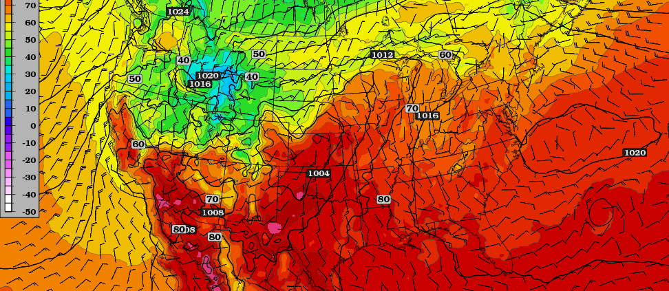
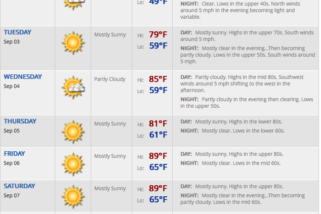
There has been a long gap in posts–my apologies. I have been mostly on Twitter due to my busy schedule. The weather tends to wind down a bit in the fall in the Upper Midwest. Aside from a few severe weather instances and the heat wave, things haven’t been terribly intense here. After a brief cool down on Sunday and Monday (Today)–we should begin to moderate again for the week. September–just like the month of March, happens to be one of our biggest changing weather months, when the Sun goes through it’s most rapid transition with it’s angle of inclination and solar radiation output.

