Weather Update: July 27th thru July 29th
Welcome to late September to early October temperatures! Quite honestly, I didn’t even see this coming or think we could get this cold so soon. But it’s here! The perfect weekend to sit outside if you have a heat phobia, or the perfect weekend to get those random tasks done, so that you can enjoy our (hopefully) better weekends to come in good way, outside.
There’s not a lot of exciting weather to talk about today, but I will briefly explain why we are seeing such cold temps this weekend. Much of our weather is controlled by the jet stream. Typically this time of year, it rides from west to east a slight curve, but mostly flat along the US Canadian border–or even higher! Right now, it has buckled a bit, similar to what was happening to us in late spring.
Here are a few images to explain:

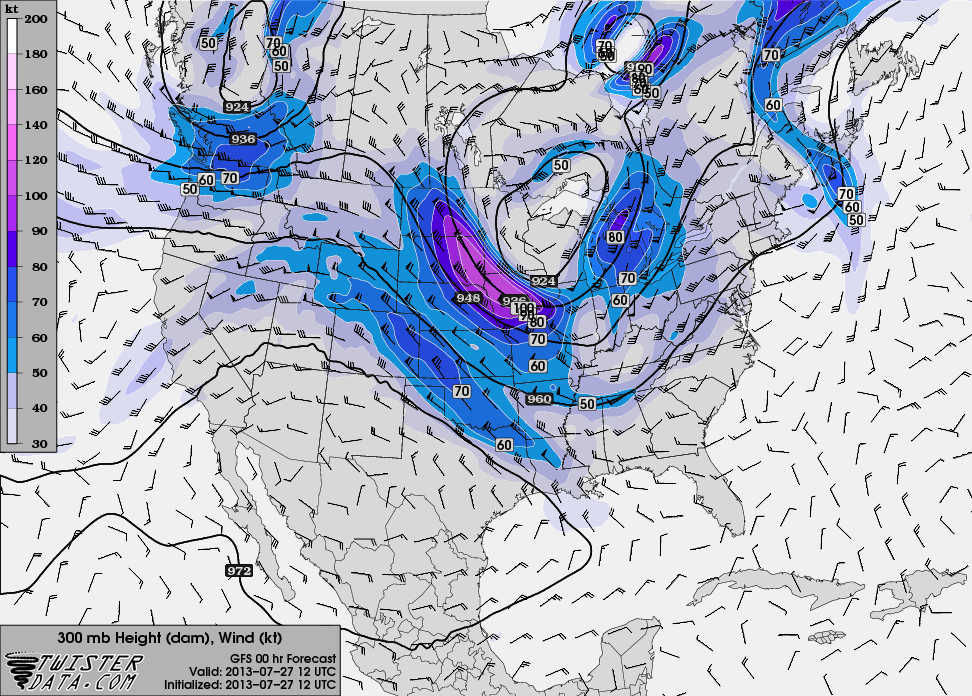
Jet Stream in Trough Pattern over Upper Midwest
You can see the Jet Stream coming heading over the Pacific Northwest, like it should, but the difference here is that it starts to buckle south over the upper midwest, which allows for cold air to pour south over Canada. This is typically on the backside of a cold front or low that this starts to happen.
Here are the temps we are seeing today:

Temperatures Below Normal–Record Cold
Here’s the Jet Stream as we progress thru the weekend:

Jet Stream Trough Shifts East
Here are the temps as they begin to moderate with this shift in the Jet Stream:

Temperatures Improve
Here are the maps for Monday, as we are nearly out of this cold snap for the time being.
The Jet Stream has shifted east with the buckle that created the trough.

Jet Stream Continues Shifting to NE US
Temperatures begin to moderate even more. Oddly, Northern MN and Canada will likely see quicker increase in the temperatures due to the proximity to the other part of the Jet Stream ridge that allowed for warm temps in Northern Canada and Alaska.

Temperatures Improving
Today we will be dealing with some on and off showers, with cool and windy conditions. Temperatures should improve slightly tomorrow, with greater increases to the West and Northwest. The coolest air will be over Northern Wisconsin.
Here are the conditions we expect for the next 7 days, and also the precip outlooks through Monday:

7-day Outlook

Precipitation Outlook Day 1

Precipitation Outlook Day 2

Precipitation Outlook Day 3
Thanks for visiting, and stay warm this weekend!
-Bo


