Weather Update: August 3rd thru August 9th
Thank you for visiting Bo Knows Weather for your forecast.
This weekend will feature some pleasant and nice weather in the area. Temps are below normal for this time of year, but I am sure many people will find it to be comfortable.
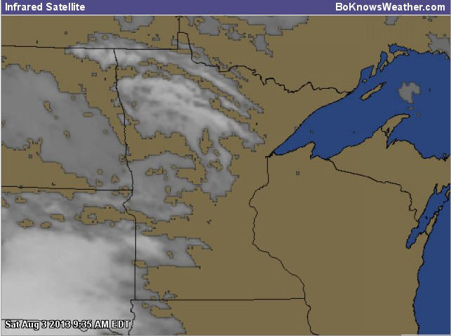
Today we are looking for a high in the mid to upper 70s–with mostly sunny skies in the AM, becoming partly cloudy during the day. Southern MN and parts of Northern MN might be even more cloudy at times, due to some larger cloud masses passing by.

Clouds approaching from West and Northwest
The next 7 days are looking fairly nice, with brief warmup in the early part of the week before some chances of severe storms in the upper Midwest. I will highlight that shortly. It is a long ways out, but still worth watching.

7-day outlook
Here is the precipitation outlook for the next 3 days, generally speaking:

Precip Outlook 1

Precip Outlook 2

Precip Outlook 3
Here are some maps highlighting the coming severe weather potential. The models are still in disagreement over the exact spot, but it could be nearby.
The GFS and the NAM are a bit different.
CAPE: Values are quite high, just south, which likely indicates where the warm front will be positioned.

CAPE
Dewpoint: Values will spike in Southern MN along that front as well, creeping up towards MSP.

Dewpoint
Lifted Index: Values will also spike in Southern MN, with gradual decrease towards MSP. Any change in these models could change where we see the severe weather.

Lifted Index
Temperatures: One of the main limiting factors is the level of heat for MSP. The mid to upper 80’s will be mainly in Iowa, but we will likely stay in upper 70’s to near low 80s here.

Temperatures
Surface winds: These appear to be coming from different directions, along the area where the suspected warm front will be in Southern MN. There will also be some wind shear occurring on this day. Nothing significant, but enough to help any storm formation.

Surface Winds
Jet Stream: There will be a core of faster wind speeds overheard, as the Jet Stream is over us. This will help add some energy to the atmosphere.

Jet Stream winds 300MB Level
A lot will likely change, as this is 84 to 90+ hours out, but I will keep watching models. The main differences between the GFS and NAM (this info was from GFS)–are that that NAM seems to put everything a bit farther north into the Dakota’s and MN and WI, but leaving a hole around MSP, which could possibly be to a suspected stabilized atmosphere from morning storms that could tap into the energy. The NAM seems to hint at two spikes, one to the West, and one to the East and South.
I will keep watching it for everyone. In the meantime, enjoy the weekend! It will be nice. Still a bit cool for me, but nice, with low humidity. There are signs that the Jet Stream will continue misbehaving like it did this spring, which could mean a much cooler August. There is still some hope in the long range charts, but it will have to be watched closely as well. This has been far from a normal year anyways, so it will likely stay that way for a while!
Thanks for reading…
Bo


