August 2015
Hello all–
Are you enjoying the summer so far? It sure is cooler than normal. Each year we average about 15 days or so above 90F, and this year, I believe we have only had 2 officially at MSP! Each year goes in waves. As we have a pretty strong El Nino going on now–this may end up taking us into a milder winter. Anyways–enough talk about winter. Our Severe Weather load has been noticeably lighter as well–and I am sure many of you are ok with that!
Below are some of the SST (Sea Surface Temp) anomalies showing how the typical areas–and more–are warming up with this El Nino event.

SST Anomalies
The heat seems to be bottling up to the South these days, and it will finally be making an appearance in Texas and the Deep South. Until recently, much of it has been focused on the West Coast. Certainly some unusual patterns this year!
Getting hot!

Getting hot to our South!
Up here–the heat seems to be having trouble–but we will keep in mild overall!

Not as hot up here!
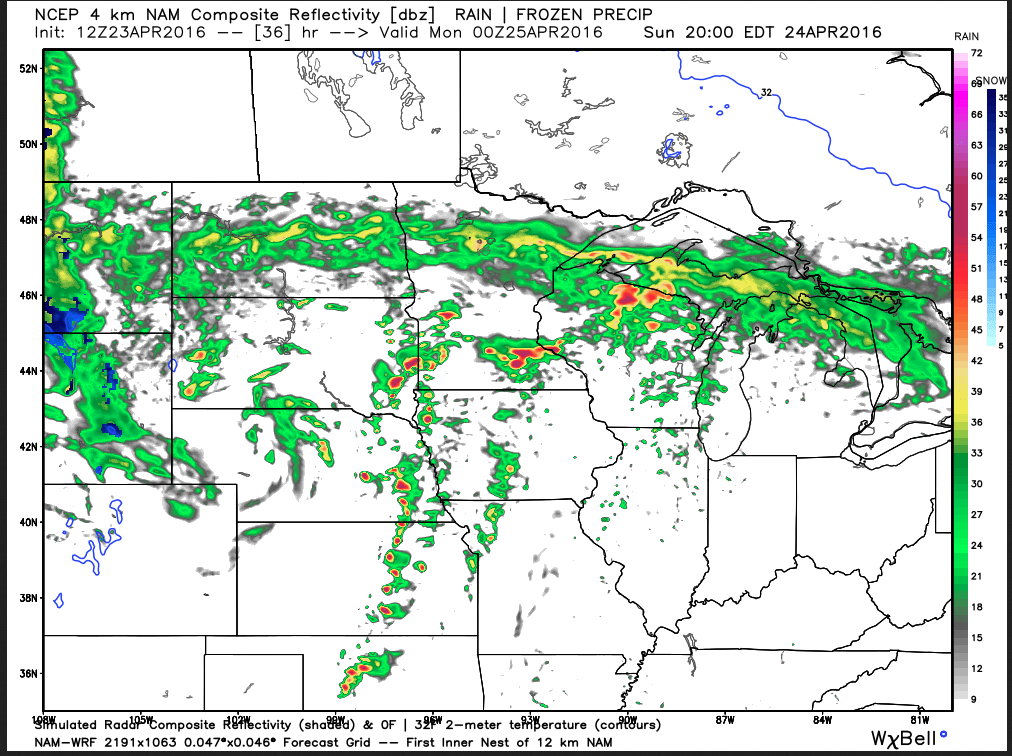
Saturday AM will have some showers possible to the West, and up North. There’s a chance that some could trickle over towards MSP–but I wouldn’t call it a widespread chance. Here’s the simulated Radar for Sat AM from the NAM4k.

Slight change of storms to West for Sat AM
I will be down in Mississippi at the Broadcast Meteorology capstone event this weekend thru part of next week, and highs will be near 100, with some pretty high dewpoints. With any luck, maybe I can bring some of that heat back with me for those that love a hot summer. ;) In the meantime–here’s the outlook for us, from my website’s Current Weather page… you can find it via the link on the top!

Mild outlook for MSP!
Keep checking back–as I plan to post here more often. Thanks for visiting!
Best,
Bo


